Wednesday 27 June 2012

Directions to rock climbing in Gita, Israel

To our family and friends following our blog, you can ignore this post and check out the other posts (which you can also jump to using the links on the right-hand pane).  We feel we must do a public service for all climbers, which is to provide better directions to climbing in Gita.  So, for anyone that would like to go rock climbing in Gita, Israel and needs directions, they are below.

If you want the route maps for West Gita, you can get it from the Israel Climbers Club website:

http://www.ilcc.co.il/

Here are the links to the free guidebooks: http://www.ilcc.co.il/en/climbing/guidebook2/

If you want route maps for East Gita and other climbing areas in Israel, you have to become a member and I believe you need to pay a small fee to receive the route maps.

From Tiberias, take highway 90 North towards the Golan Heights/Tsfat/Kiryat Shmona and then take highway 85 West, towards Haifa/Akko.

Take a right (so, go North) onto highway 70 (FYI - sometimes the number signs are really faded and difficult to read, so you have to keep a close eye out).  Go approximately 4-5km and take a right onto highway 8533, towards the city of Yirka (there should be a sign for HWY 8533 towards Yirka).

Go straight through the round-about.
Go straight through 2 more round-abouts, but that's the only option you have anyway.
Pass a large My Baby outlet on the right-hand side of the road and shortly after, you'll come to another round-about, which you will want to take a Left at.
You'll drive up a hill and come to another round about, where you'll want to go straight/right-ish.  Just don't take the left option.
Pass mall on right with a McDonalds.
You'll come to another round-about where you'll want to go right.

You'll go up a hill, over periodic speed bumps, which then starts to narrow into a residential looking area. Go straight through roundabouts, follow the main flow of traffic straight - though the road will curve, so don't literally go straight onto some small obscure street.  Stay on the main road.

There's a point where one way of traffic goes straight and oncoming traffic is coming from the left, because traffic is being directed around a large central building.  Go straight, take a left towards the very large central building, and then turn left in front of the building.

Go straight, a bike shop will be on your left as you pass it. You'll go straight and then you'll come to a T in the road, where you'll want to turn right and you'll start going downhill.  Keep going straight.  You will pass 6 small, side roads on your right, 3 of them have gates.  Continue downhill.

You'll come to a dirt road on the right that has a large gravel entrance that could fit several parked cars (and some local's trash apparently) - this is the road you'll want to take.  You should see a gravel road that's the width of one car and there are olive trees all around.  You can drive through the first grove of olive trees, I think you'll drive over a small, dried-up stream bed, and then you'll come to another grove of olive trees.  You can park there and continue walking up the road.  If you have a Jeep or big truck with 4 wheel drive, you can continue driving and park much closer to the climbing routes.  But, the walk from the olive groves isn't that bad, maybe 10 minutes to West Gita and 15 minutes to East Gita.

If you did park your car in the olive groves and are walking along the road, you'll walk over a cow-grate, and West Gita is a marked trail on the left.  If you continue walking straight, you will come to East Gita.  I believe the road pretty much ends at East Gita, and you just have to walk up the hill a little bit to get to the rock.

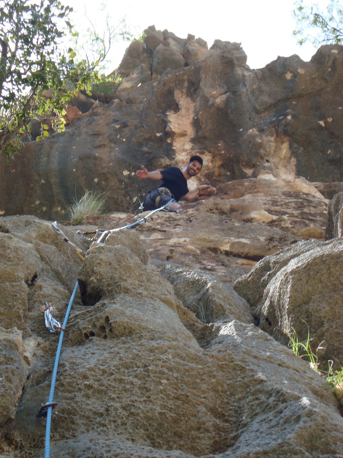
Hopefully these directions are helpful!  If anyone uses them and has any suggestions for changing them, please let us know.  The area has many fun routes, we really enjoyed it.  We recommend bringing bug spray, a hat, sunblock, plenty of water (and food), and maybe a sweater if you're staying until dusk.

Good luck and happy travels!


Saturday 23 June 2012

Rock Climbing in Gita


The tie-in knot.


We brought 1 suitcase that was stuffed almost solely with rock climbing gear and we were itching to use it.  Later we'd be itching in a different way.  I found a climbing guide online with a hand-drawn map and we headed North, then East.  We left at maybe 8:30am.  We were in the vicinity of the climbing area around 9:30am.  At the small town of Yirka, we thought we'd be climbing within half an hour.  But we couldn’t find the turnoff we wanted.  Now we're driving through tiny streets, up and down hills.  Finally we ask someone where we are.  The village of Julias.  

We backtrack and ask someone else.  He says he doesn't speak much English, but go a few hundred meters down the road and we'll see a house and find an English speaking boy named Elliot.  We find the house and I walk toward the house and start saying, "Hello? Shalom? Elliot?"  A man at least 15 years older than me comes out and says he's Elliot.  Ok, not really a boy…more like a middle-aged man.  His accent was from Australia or NZ and he looks at the map and tells me a way to get to where we want to go.  He also gives me a different route to get there, and another route and another route...  A little confused, we get back in the car and start driving.  We go up a huge hill and I find a cliff.  Samara stayed in the car and read while I spent about 20 min running around the hilltop looking over the cliff edge for climbing gear (which means there are routes to climb) but I can't find any.  We only found some rocks to boulder around on and this cool view.


We go back down the hill, through a mostly Arab village, and we see cliffs all around.  We're really close!  Again I get out of the car and start looking around.  An hour of exploring and all I found is this little guy:


I think he's a Greek tortoise, they're prevalent throughout the Mediterranean.  And also I found this guy:


We refer to him as the hermit.  I helped him for 5 minutes to hold a fin-piece in place while he bolted it.  He was building a wind turbine.  He has solar panels and a water retention pond.  I think he was living off-grid.  He told me fairly good directions to get to the climbing area.

We backtracked again, and went down a dirt road, which our bad directions called "jeep trail."  The dirt road got crappier and bumpier.  Our guide said cross the dry streambed.  Samara didn't think our economy/compact rental car could make it.  I did.  


She was right.  


All kinds of scraping and we decided we were probably gonna get our car stuck with no one around us to help.  30 minutes of hiking and we were finally at the climbing wall.  9:30 we were in the right town, about 4pm when we actually found the cliff face.  Warning Sign:


Video description of the climbing area:


Flaking out the rope for the first time in half a year, checking for knots, twists, damage...  Cool view behind me.  I'm standing at the crag called Gita East and behind me are the cliffs of Gita West, where we would climb another day.


Rope spectacles


We only got a couple short routes in that day, but we were happy to get out into the hills and get some air under our feet.


It got cold pretty fast that day.  By cold, we mean 70 degrees F with a little wind.


After the first day we found out that every plant in this area is spiny, poky, or sticks to you and makes you itch.  Burrs everywhere - in the rope, in Samara's hair, on our clothes.  A few bug bites...

About a week later, we returned for more.  Here's Samara hiking in for the start of climbing day 2.  The view behind Samara is of the river-carved valley with olive trees all over.  There's little evidence of a river now, just a dry streambed.  But there were signs warning us of the dangers of flash flooding.  Apparently when the flash floods hit, the water will rise several feet in minutes and its strong enough to move gigantic boulders.

Samara finishing another route.


I would have kept climbing higher but I ran out of cliff.


Climbers joke that most climbing pictures are butt-shots.  Normally thats because the picture was shot from below, by the belayer.  Well, here's another one.


Video of the panoramic view:


I'm rappelling back to the ground.


Another fun route.


Samara rappelling after she finished the route.


Climbing day 3 at Gita West was a hot one.  Easily over 90.  Our aluminum carabiners were almost painfully hot to touch if they were in direct sunlight.  When we took off our climbing shoes and put on our sandals that were sitting in the sun, they'd burn our feet.  Not a long hike, but it was steep and adding a big backpack of climbing gear, food & water, plus the rope = glute and calf exhaustion.


Samara belaying me while she's soaking up some sun.


After I climb up and get lowered back down, Samara climbs up, cleans/grabs all our gear, and rappels back to the ground.


Cool effect from the sun above Samara's head.


This one was a rope-stretcher (long route).


I'm rapping down while cleaning the gear.


Lunch time!


I'm employing the leg-plate method.


Almost to the top of another route.


We got in 3 good days of outdoor climbing plus one day at the indoor climbing gym.  So, we feel like it was worthwhile bringing all that climbing gear with us halfway around the world.  Not much use for it at the kibbutz, but theres lots of rock climbing in the hills near Jerusalem, and after a 5 week break we'll be pretty anxious to get out and climb again.

Wednesday 20 June 2012

Yehudiya Nature Reserve

On one of our last days in Tiberias, we visited Yehudiya Nature Reserve.  There's supposed to be a really cool trail along the Yehudiya river which is kind of like canyoneering/via ferrata.  There's hiking, but then there are more fun areas that have metal hand holds to assist you through.  In one spot you have to jump off a 15 ft cliff into the water and swim across to the other side, then continue down ladders, etc.  Its safe, its a marked trail, ok?  Unfortunately, there was a huge rock slide that blocked a lot of the trail, so it was closed.  So, we decided to follow the Zavitan river trail, which ended up being an unexpected delight!


We hiked through what felt like the desert, though the northern climate allows for much more flora than Southern Israel.  We passed what seemed like miles of old stone dwellings and rock piles of ruined cities.  It was about 90 degrees F, the sun was beating down on us, and there was very little shade.  We started descending huge, natural rock steps until we came to an iron ladder that was drilled into the rock.  We climbed down the ladder and the trail began to narrow.  We crossed over a little creak and ducked beneath branches of trees and flowers.  We heard sounds that I thought were wild pigs snorting, but then Jeremy spotted our friend the hyrax!  The trail lead us beneath a kind of open cavern, and there was a large, stagnant green pool, full of fish!  You wouldn't know where to go unless someone pointed the way, but we used our climbing skills to climb up over the rock, away from the stagnant pool and as we crested over the rock, we saw a beautiful waterfall flowing down into a large, clear pool, where hikers jumped in to cool off from the hot day!  There were flowers around the waterfall that made us feel like we were in Hawaii.  The hidden waterfall grotto felt magical!


The fish, which I was kind of scared of.  I don't actually like swimming so close to fish.  


Jeremy went in with a splash!


The cool, spring water felt so unbelievably refreshing after hiking in the heat.


Jeremy and I swam over to the waterfall and let the cold water rain down on us.


Reluctantly, we left the hidden waterfall grotto, climbed up out of the cavern, and continued our hike.  We happened upon a tree with a giant boulder entwined in its huge branches.  How many hundreds of years has this tree and rock been here?  How much history has this tree seen?


Jeremy bested this tree by climbing high up into its branches!  This tree was also a great spot for us to eat lunch in the shade!


We continued our hike, which took us down approx. 400 stone stairs into the valley, along the Zavitan stream, with little waterfalls and many pools to stop, swim, and cool off.  Afterward, we climbed the same amount of stairs back up out of the valley, to conclude about 5 hours and 7 miles of hiking.


When parts of the hiking trail are too difficult to do without aid, there are iron hand-holds along the way to assist you.


Here Jeremy is by some of the pools we passed as we hiked along the Zavitan stream.


A beautiful place and a wonderful new adventure!  20% of Israel is protected as a nature reserve or national park.  There are 190 nature reserves and 66 national parks in a country the size of New Jersey!  Spectacular!


Sunday 17 June 2012

Jeremy's Birthday!

Sorry for the outdated post!  As you can tell, we've been very busy!  Also, we updated some of the "More Tiberias" post if you're interested in our other adventures in Tiberias.

We celebrated Jeremy's birthday pretty much for the entire weekend, which in the United States was Memorial Day Weekend, but in Israel it was Shavuot weekend!  One day, we went rafting down the Jordan River, which was really fun!  Jeremy stopped our boat on a bank so we could talk to some campers and we practiced our Hebrew with them.  We used the waterproof camera, so we'll update with pics once we upload them.

The next day, we ate Jeremy's birthday cheesecake at a cute cafe atop Mt. Bental, looking down into Syria.  Jeremy told me the fascinating story about the Valley of Tears, a battle fought during the Yom Kippur War, and we explored an old Israeli bunker.


Jeremy's Birthday cheesecake!!!


Here we are wandering around in the bunker.  Below us are underground rooms where the troops lived.  Behind Jeremy, to the left, is like a machine gun house thingy that rotates.  Jeremy says it's called a turret.


I'm in there!


Hey you out there, I can see the whole Valley of Tears all the way to the mountains of Syria!


There I am!


Syria is right behind Jeremy.  This border has been pretty peaceful ever since the Golan Heights have been in Israeli hands.


We're closer to Damascus than we are to Jerusalem!


As you're driving through the Golan Heights, the roads are bordered with fences and signs warning you not to enter because of land mines from previous wars.  The fields beyond are overgrown with wildflowers and tall grasses.  Jordan and Israel have made a pact to start cleaning up the Golan Heights of the mines, so the fertile mountain land can actually be used.


There's a UN fort on the border of Israel and Syria, visible from Mt. Bental.  I guess they're monitoring Israeli/Syrian relations.


This violent statue is in a town in the Golan Heights which used to be Syrian territory.  The statue seems very out of place in Israel.  Nearby, there's a place called the "shouting hill" where Israeli Syrians can use megaphones to give news to their Syrian relatives across the border and vice versa.


Jeremy and I drove back from Mt. Bental to Tiberias by taking the scenic (and winding) route - along the Jordan River, the Eastern border of Israel and Jordan.  There's Jordan on the other side of the fence and the Jordan River below.

That night, we had a delicious dinner at Avis Restaurant in Tiberias - kabobs of chicken, lamb, and vegetables, accompanied with salad, falafel, hummus, cabbage, and veggie dips!  It's really a test of will power when eating here!


Jeremy's Birthday dinner!


12 types of salad!  Crazy!